The shape of
→ Houston’s
inequity
What "The Houston Arrow’ reveals about the connections between government, development and the concentration of opportunity
A FOUR-PART SERIES BY LEAH BINKOVITZ
MAPS AND DESIGN BY EVAN O'NEIL
Mapping almost anything in Houston, you end up with the same map, with a shape so persistent, so apparent, it's been given a name: The Arrow. How did the city take this shape? How has it held it? And how can we make Houston whole? This four-part series sets out to answer these questions.

PART 1
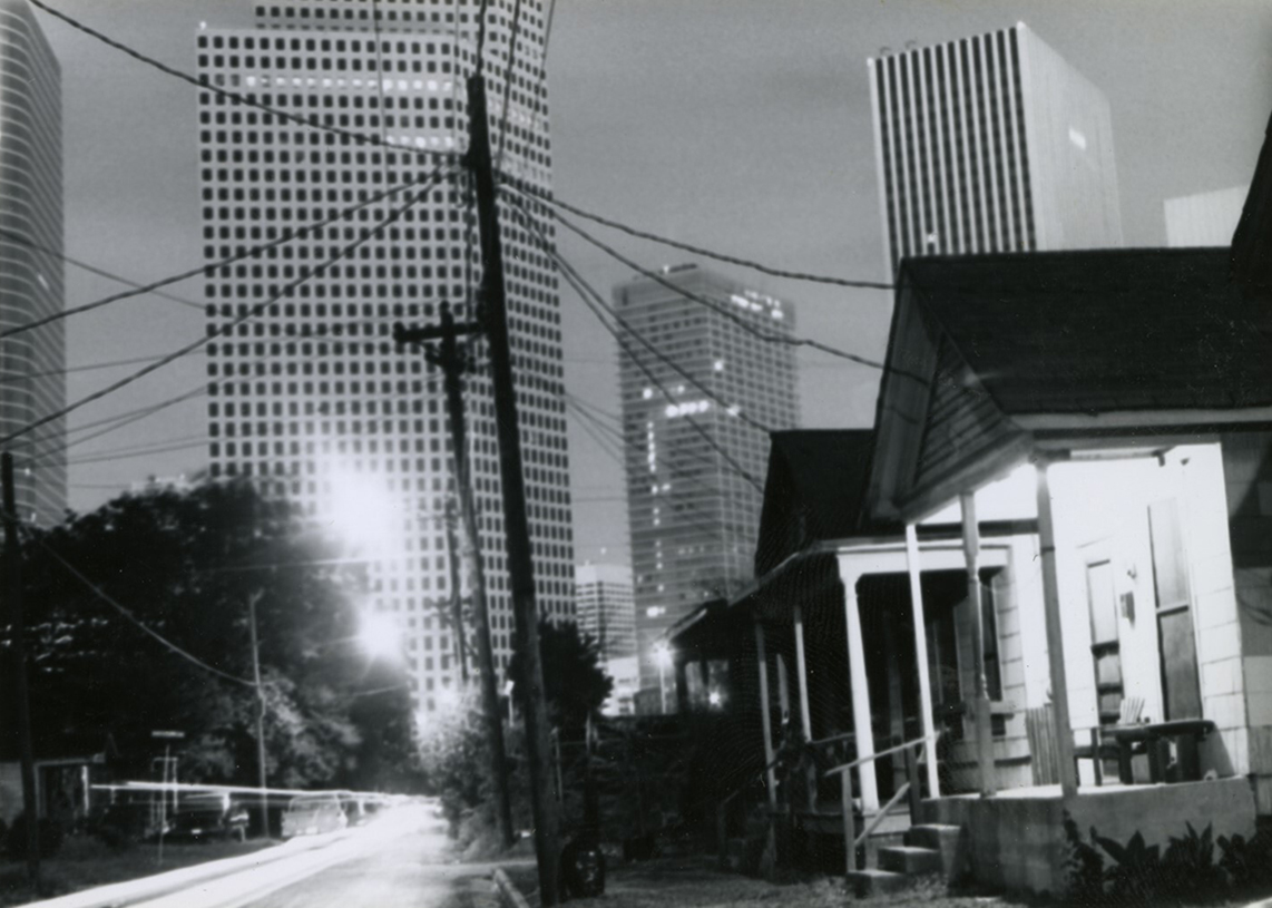
Up and down on Richmond Avenue
As it moves from west to east toward Third Ward, Richmond Avenue forms the rough southern boundary of a stubborn shape most map-minded Houstonians have come to know by heart. It is a corridor of change, allowing you to experience the Arrow.
Read Article →

PART 2
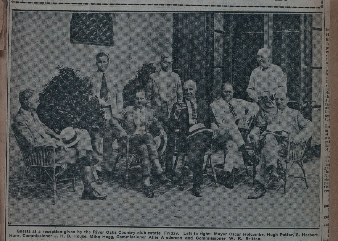
A home for the ruling class
It wasn’t enough that River Oaks was deliberately exclusive of people who were not white. It also needed to reward those who could afford to buy in, which the city and private developers worked on hand in hand to all but guarantee. The rich got richer.
Read Article →

PART 3
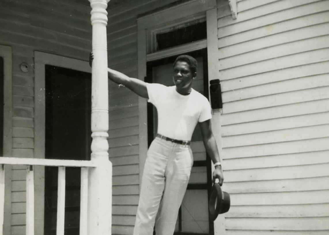
From porches to townhomes
Being slowly pillaged by the same forces that guaranteed prosperity in other neighborhoods, Freedmen’s Town lies at the tip of the Arrow, where residents have worked tirelessly to build a community that knows its history and controls its future.
Read Article →

NOT THE FINAL PART
Moving beyond maps
Though the Arrow serves as a visual shorthand, there is more to Houston than can be mapped by traditional means and understood by conventional thinking. The Arrow tells a story of priorities that urgently requires new vision and action for equity.
Read Article →
